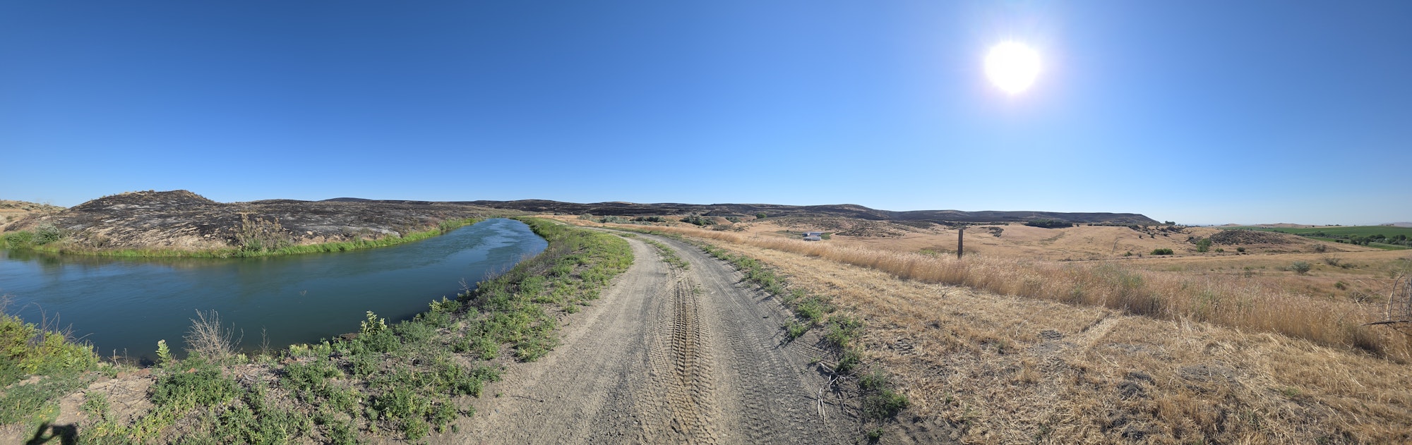
OID-BLM Wildland Risk Reduction Grant success - Lytle Fire 6/22/2026
Our work creating a wildland reduced vegetation buffer zone proved itself during the Lytle Fire June 22nd 2026. The fire burned up to and stopped across five miles of the reduced risk area created. One primary residence was directly protected near Cow Hollow. The fire burned to the buffer zone and stopped within a few hundred feet of this home.
This is the second fire this year where the WRRG buffer zone has stopped fire spread. The Mendiola fire near Adrian stopped at the Kingman Lateral and to the south at our water supply access road.
Owyhee Irrigation District has partnered with BLM through a Wildland Risk Reduction Grant (WRRG) to create this buffer zone along over 72 miles of wildland interface stretching from the communications repeaters above the Owyhee Dam north to the Snake River near Annex. This reduced vegetation area borders the Owyhee Irrigation North Canal and laterals. The project focuses on widening that safe area to protect us all.
Vegetation reduction is done through herbicide applications, grading, and mowing.